
 | ||
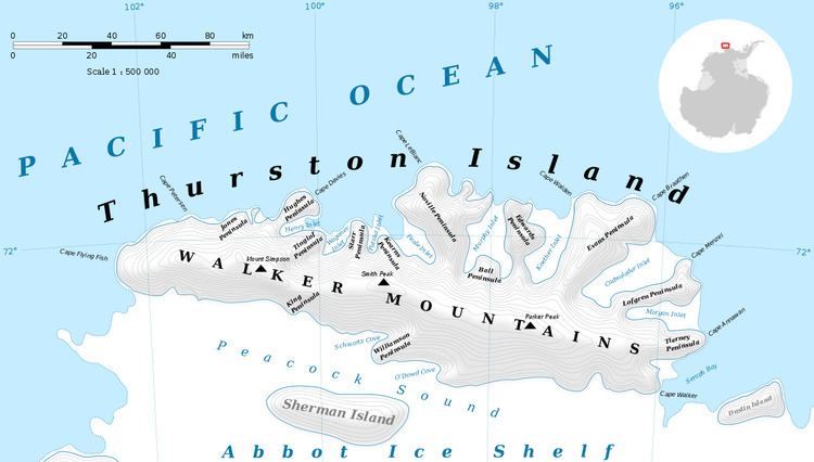
Shelton Head (72°31′S 97°19′W) is a headland marked by exposed rock, located 12 miles (19 km) west of Long Glacier on the south coast of Thurston Island. Mapped by United States Geological Survey (USGS) from surveys and U.S. Navy air photos, 1960-66. Named by Advisory Committee on Antarctic Names (US-ACAN) for John A. Shelton meteorologist at Byrd Station, 1963-64.
Maps
This article incorporates public domain material from the United States Geological Survey document "Shelton Head" (content from the Geographic Names Information System).
References
Shelton Head Wikipedia(Text) CC BY-SA