
 | ||
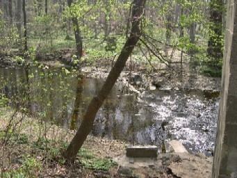
Shellpot Creek is a tributary of the Delaware River in northeast New Castle County, Delaware. The stream rises between Grubb Road and Shipley Road, south of Naaman's Road at 39°49′19″N 75°31′55″W in Brandywine Hundred and flows southeast for about six miles before discharging into the Delaware River at 39°44′05″N 75°30′16″W near Edgemoor. Prior to 1938, the stream drained into the Brandywine Creek, but was subsequently redirected to the Delaware River.
Map of Shellpot Creek, Delaware, USA
The watershed has a drainage area of nearly 15 square miles, and is the most suburbanized drainage area in the Piedmont Basin. New Castle County, the Calpine Edge Moor Power Plant, the former Chemours Edge Moor plant, Amtrak, and the City of Wilmington all discharge storm water into Shellpot Creek. During Tropical Storm Allison (1989), the creek flooded to record levels, with the flow rising from 1,300 gallons per minute to 3.6 millions of gallons per minute (or more than 8,000 cubic feet per second).
The name is likely derived from the Swedish Sköllpadde Fallet (meaning "Turtle Falls"), and has been historically known as "Schillpades", "Skilpot", and "Shilpot".