
OS grid reference SU758245 | Sovereign state United Kingdom Fire Hampshire | |
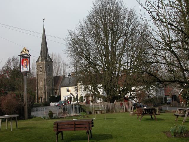 | ||
Sheet is a village and civil parish in the East Hampshire district of Hampshire, England. It is 1.1 miles (1.8 km) northeast of Petersfield, just off the A3 road.
Map of Sheet, Petersfield, UK
The nearest railway station is Petersfield, 1.1 miles (1.8 km) southwest of the village. The parish church of St Mary Magdalen is located in the village.
References
Sheet, Hampshire Wikipedia(Text) CC BY-SA