
Length 101 km Mouth Bruneau River | Source elevation 1,867 m Country United States of America | |
 | ||
- location east of Owyhee, Nevada, Elko County, Nevada - location Bruneau – Jarbidge Rivers Wilderness, Owyhee County, Idaho | ||
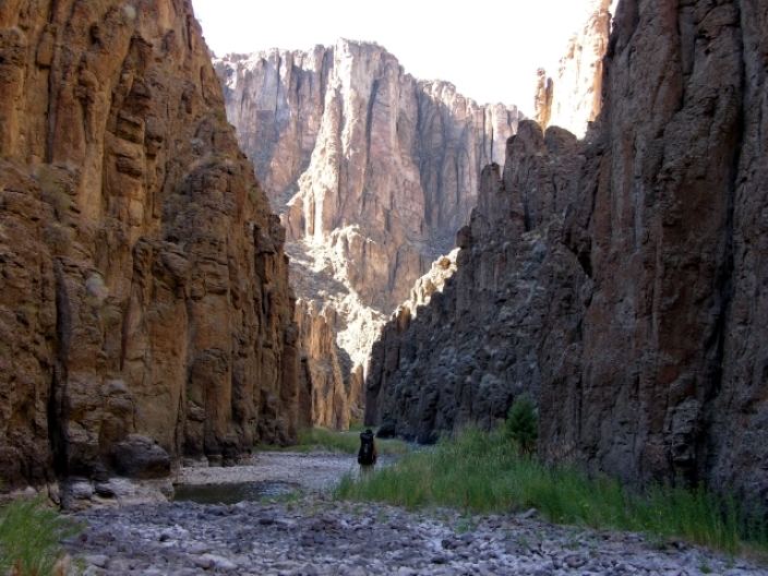
Sheep Creek is a 63-mile (101 km) long tributary of the Bruneau River. Beginning at an elevation of 6,126 feet (1,867 m) east of Owyhee in northern Elko County, Nevada, it flows generally north into Owyhee County, Idaho and the Owyhee Desert, where it is roughly paralleled by Idaho State Highway 51. It then flows to its mouth in the Bruneau – Jarbidge Rivers Wilderness, at an elevation of 3,415 feet (1,041 m). In 2009, 25.6 miles (41.2 km) of the creek were designated as wild by the Omnibus Public Land Management Act, which also created the Bruneau – Jarbidge Rivers Wilderness.
Map of Sheep Creek, United States
References
Sheep Creek (Bruneau River) Wikipedia(Text) CC BY-SA