
GNIS feature ID 0453842 Area 181 km² Population 20,469 (2010) | ZIP codes 47421, 47436, 47451 Elevation 209 m Local time Friday 6:46 PM | |
 | ||
Weather 8°C, Wind W at 16 km/h, 80% Humidity | ||
Shawswick Township is one of nine townships in Lawrence County, Indiana, United States. As of the 2010 census, its population was 20,469 and it contained 9,653 housing units.
Contents
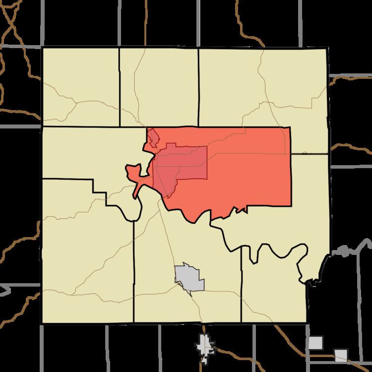
- Map of Shawswick Township IN USA
- History
- Geography
- Cities towns villages
- Unincorporated towns
- Cemeteries
- Major highways
- Airports and landing strips
- School districts
- Political districts
- References
Map of Shawswick Township, IN, USA
History
Shawswick Township was established in 1818. The township was named from a combination of the surnames Shaw and Wick. Wick was the name of a judge and Shaw was the name of a war hero; the final name Shawswick was formed in a compromise.
The Helton-Mayo Farm was listed in the National Register of Historic Places in 1995.
Geography
According to the 2010 census, the township has a total area of 69.87 square miles (181.0 km2), of which 69.52 square miles (180.1 km2) (or 99.50%) is land and 0.34 square miles (0.88 km2) (or 0.49%) is water.
Cities, towns, villages
Unincorporated towns
(This list is based on USGS data and may include former settlements.)
Cemeteries
The township contains these nine cemeteries: Beech Grove, Breckinridge, Crawford, Green Hill, Ikerd, Scoggan, Sherril, Starr and Williams.