
Country United States GNIS feature ID 0766402 Area 239.2 km² Population 3,460 (2000) | FIPS code 29-67070 Elevation 170 m Local time Friday 5:40 PM | |
 | ||
Weather 13°C, Wind N at 14 km/h, 65% Humidity | ||
Shawnee Township is one of ten townships in Cape Girardeau County, Missouri, USA. As of the 2000 census, its population was 3,460.
Contents
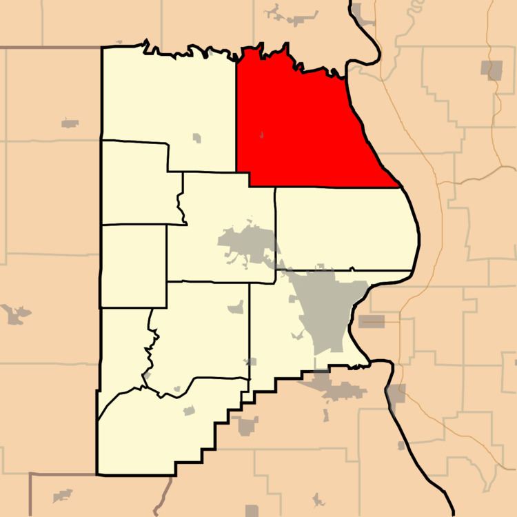
Map of Shawnee Township, MO, USA
Shawnee Township was established in 1848, and named after the Shawnee Indians.
Geography
Shawnee Township covers an area of 92.36 square miles (239.2 km2) and contains one incorporated settlement, Pocahontas. It contains two cemeteries: Apple Creek and Darby.
The streams of Blue Shawnee Creek, Buckeye Creek, Duskin Creek, Flatrock Creek, Indian Creek, Little Indian Creek, Lovejoy Creek, Muddy Shawnee Creek, Neelys Creek, Opossum Creek, Shawnee Creek and Turkey Creek run through this township.
References
Shawnee Township, Cape Girardeau County, Missouri Wikipedia(Text) CC BY-SA