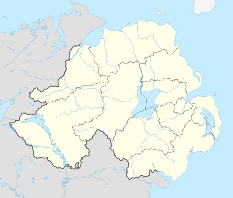
Population 200 (approx) Postcode district BT11, BT12 Province Ulster | Sovereign state United Kingdom Dialling code 028 | |
 | ||
Mika shaw s road to recovery part 1
Shaw's Road is a road in west Belfast, Northern Ireland,. It is also home to a small Gaeltacht (Irish-speaking area) known as "The Irish Houses", and in Irish as Bóthar Seoighe (meaning "Shaw's Road") and Pobal Feirste (meaning "Farset Community").
Contents
Map of Shaws Pl, Belfast BT11 9QN, UK
History
The Gaeltacht was founded in 1969 when five families from Belfast built their houses together in a new development on the street. The community has expanded through the years and now there are 22 houses in the Gaeltacht.
In 1971, parents in the Gaeltacht established the first Irish-medium school in Northern Ireland. After much turbulence during that time, and a lengthy campaign, the school received official recognition from the Department of Education in 1985. The school has since grown rapidly and is no longer under direct administration by the Gaeltacht, but remains Irish-medium and over 350 students attend.
The Shaw's Road Gaeltacht has a strong culture of traditional music, dance and drama and the Irish language continues to be the normal language of communication between residents.
There is often some confusion between the Shaw's Road Gaeltacht and the Gaeltacht Quarter in west Belfast, which is a related, but newer and distinct project located in the centre of the Falls Road district. The Shaw's Road Gaeltacht is located closer to Andersonstown.
