
OS grid reference TQ373324 Post town EAST GRINSTEAD Dialling code 01342 | Sovereign state United Kingdom Postcode district RH19 District Mid Sussex | |
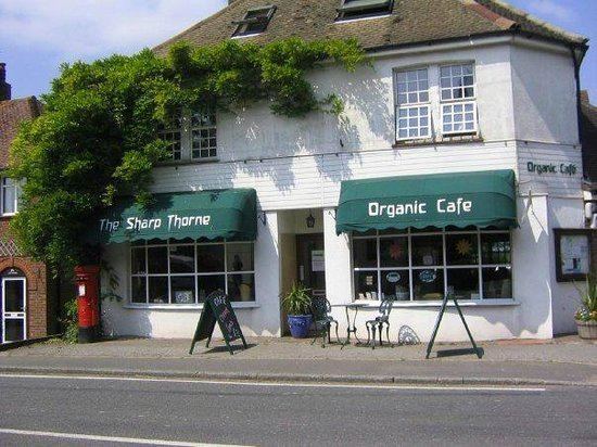 | ||
Sharpthorne is a village in the Mid Sussex District of West Sussex, South-East England. It lies on the West Hoathly to Forest Row road 3.8 miles (6.2 km) south of East Grinstead.
Map of Sharpthorne, East Grinstead, UK
The Bluebell Railway runs through a 731 yards (668 m) long tunnel underneath the village, the longest on a preserved Standard Railway put-together.
References
Sharpthorne Wikipedia(Text) CC BY-SA