
- summer (DST) Central Time (UTC-5) Elevation 76 m Province Manitoba Number of airports 1 | Area 21.6 km² Local time Friday 6:33 AM Area code 204 | |
 | ||
Weather -7°C, Wind NW at 14 km/h, 87% Humidity | ||
Shamattawa manitoba fire royal canadian mounted police
Shamattawa is a community in Northern Manitoba, Canada and the location of the Shamattawa First Nation (55°51′30″N 92°05′46″W). It is located on the banks of the Gods River where the Echoing River joins as a right tributary.
Contents
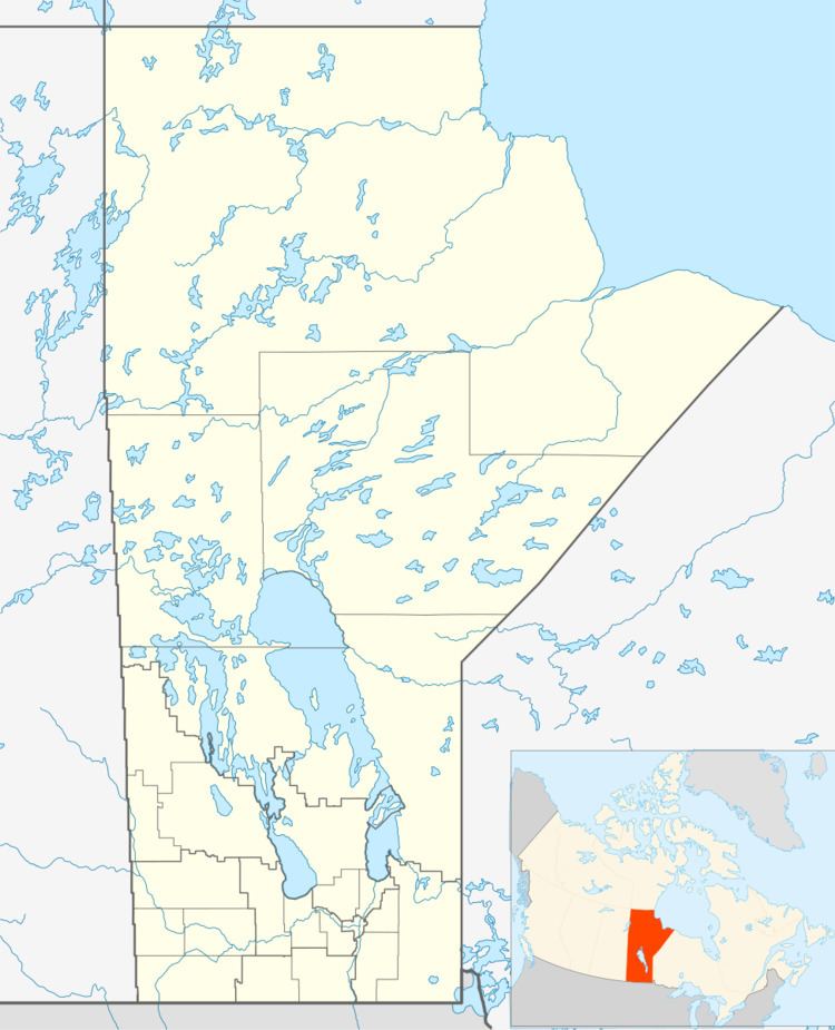
Map of Shamattawa, MB, Canada
Shamattawa is a remote, isolated community, only connected to the rest of the province by winter and ice roads. Winter roads also extend east of the community towards Fort Severn, Ontario, and Peawanuck, Ontario. It can also be reached via Shamattawa Airport. It has only one grocery store.
A polar bear was sighted in Shamattawa in August 2010, 400 kilometres (249 mi) south of its typical range.
References
Shamattawa, Manitoba Wikipedia(Text) CC BY-SA