Pin code 450445 Population 19,719 (2011) | Time zone IST (UTC+5:30) Elevation 238 m Local time Friday 11:46 AM | |
 | ||
Weather 39°C, Wind N at 10 km/h, 17% Humidity | ||
Shahpur is a town and a nagar panchayat in Burhanpur district in the Indian state of Madhya Pradesh.
Contents
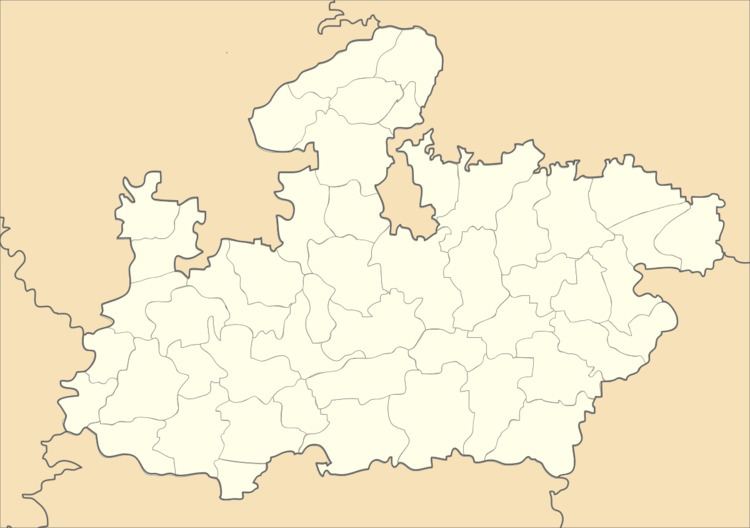
Map of Shahpur, Madhya Pradesh 450445
From 1957 till 2003 had a separate MLA seat, now merged it is with Burhanpur. It is located at Icchapur–Indore State Highway, connected with major villages of the area.
Shahapur was the Deshmukhi seat of administration during Maratha Empire and British rule.
It is the first Nagar Panchayat of its kind in the state with all wards having names of historical leaders and Sant-Mahatmas. It has total 15 wards having names of Sant-Mahatmas, Historical-Political Leader and Social Workers.
Shahpur town is one of the main center of BANANA farming in the Burhanpur district. Around 50 small villages are connected to Shahpur town, hence its in demand for separate Tehsil.
Most of the population of the town are Marathi following all Marathi traditions and festivals such as – Pola, Gudipadwa, Dashehra, and Deewali, etc. Shahpur is famous for Buffalo fight organizing every year on the next day of Deewali.
Geography
Shahpur is located at 21.23°N 76.22°E / 21.23; 76.22. It has an average elevation of 238 metres (780 feet).
Demographics
As of 2001 India census, Shahpur had a population of 18399. Males constitute 51% of the population and females 49%. Shahpur has an average literacy rate of 54%, lower than the national average of 59.5%: male literacy is 63%, and female literacy is 44%. In Shahpur, 15% of the population is under 6 years of age.
Notable people
Nand Kumar Singh Chauhan, Politician
