
3-digit postal code prefix 851 Local time Friday 5:06 AM | Time zone WAT (UTC+1) Area 1,332 km² | |
 | ||
Weather 26°C, Wind NE at 6 km/h, 12% Humidity | ||
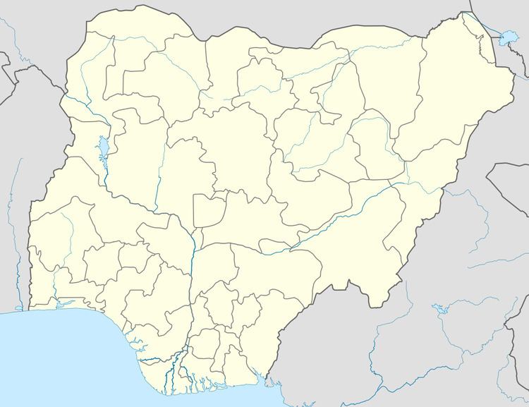
Shagari is a Local Government Area in Sokoto State, Nigeria. Its headquarters are in the town of Shagari on the A1 highway. The LGA shares a border with Zamfara State in the south.
Map of Shagari, Nigeria
It has an area of 1,332 km² and a population of 156,413 at the 2006 census.
The postal code of the area is 851.
References
Shagari, Nigeria Wikipedia(Text) CC BY-SA