
Population 5,135 (2011 census) Country Wales Postcode district NP20 5 Dialling code 1633 | OS grid reference ST309896 Sovereign state United Kingdom | |
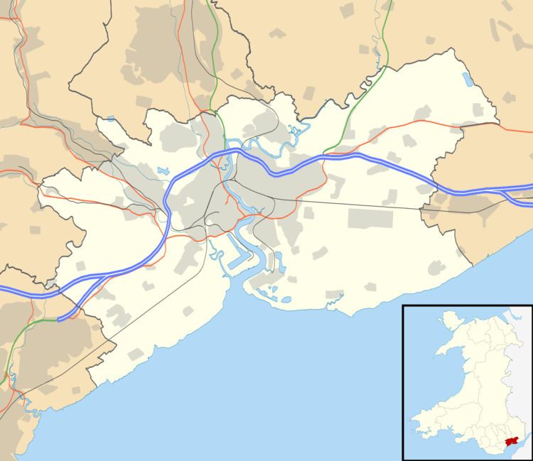 | ||
Shaftesbury is an electoral district (ward) and coterminous community (parish) of the city of Newport, South Wales.
The ward is bounded by the River Usk to the east and southeast, the Great Western Main Line to the south, the A4042 road to the southwest as far as the Harlequin intersection, at which point the border diverts up Barrack Hill behind Harlequin Drive, Power Street and Lambert Close to meet the Monmouthshire Canal which then forms the western boundary as far as Bettws Lane Bridge. The northern boundary is formed by the western and northern edges of Graig Wood, Yewberry Lane and south of Grove Park Drive. The area is governed by the Newport City Council.
References
Shaftesbury, Newport Wikipedia(Text) CC BY-SA