
Type artificial lake Basin countries United States Max. depth 62 ft (19 m) Surface elevation 697 m | Surface area 4,693 acres (18.99 km) Area 18.99 km² Catchment area 8,806 km² Inflow source North Fork Grand River | |
 | ||
Primary inflows | ||
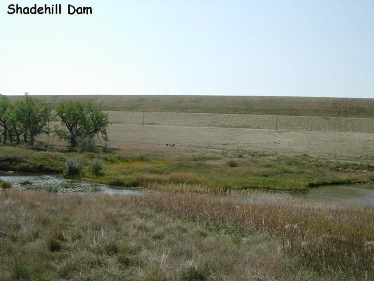
Shadehill Reservoir is a reservoir on the Grand River in Perkins County, South Dakota, USA. The lake was created by the construction of Shadehill Dam by the United States Bureau of Reclamation in 1951.
Map of Shadehill Reservoir, South Dakota 57638, USA
The reservoir has two primary inflows: North Fork Grand River and South Fork Grand River. The single Grand River serves as the only outflow.
Species of fish in the lake include walleye, smallmouth bass, channel catfish, yellow perch, northern pike, and common carp.
Shadehill Reservoir is the location of the Shadehill Recreation Area, which is managed by the South Dakota Department of Game, Fish and Parks. The recreation area includes facilities for camping and several boatlaunch ramps.
Also, located around the reservoir is the Hugh Glass Lakeside Use Area, named for the mountain man, Hugh Glass, which features several campsites. A historical monument to Hugh Glass now stands, near the site of his mauling, on the southern shore of Shadehill Reservoir, at the forks of the Grand River.