
 | ||
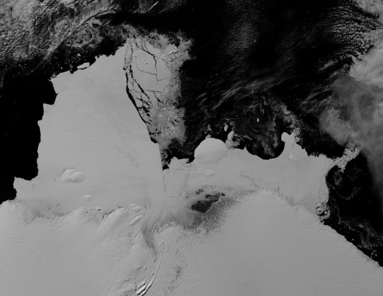
Shackleton Ice Shelf is an extensive ice shelf fronting the coast of East Antarctica for about 384 km (95E to 105E), projecting seaward about 145 km in the western portion and 64 km in the east. It occupies an area of 33,820 km². It is part of Mawson Sea and separates the Queen Mary Coast to the west from the Knox Coast of Wilkes Land to the east. The existence of this ice shelf was first made known by the USEE under Charles Wilkes who mapped a portion of it from the Vincennes in February 1840. It was explored by the Australian Antarctic Expedition under Douglas Mawson (1911–14) who named it for Sir Ernest Shackleton. The extent of the ice shelf was mapped in greater detail in 1955, using aerial photography obtained by US Navy Operation Highjump, 1946-47. Further mapping by the Soviet Expedition of 1956 showed the portion eastward of Scott Glacier to be a part of this ice shelf.