
Region East Midlands Sovereign state United Kingdom Postcode district NG33 Local time Thursday 7:10 PM District Borough of Melton | Country England Post town NOTTINGHAM Police Leicestershire Shire county Leicestershire UK parliament constituency Rutland and Melton | |
 | ||
Weather 17°C, Wind S at 21 km/h, 55% Humidity | ||
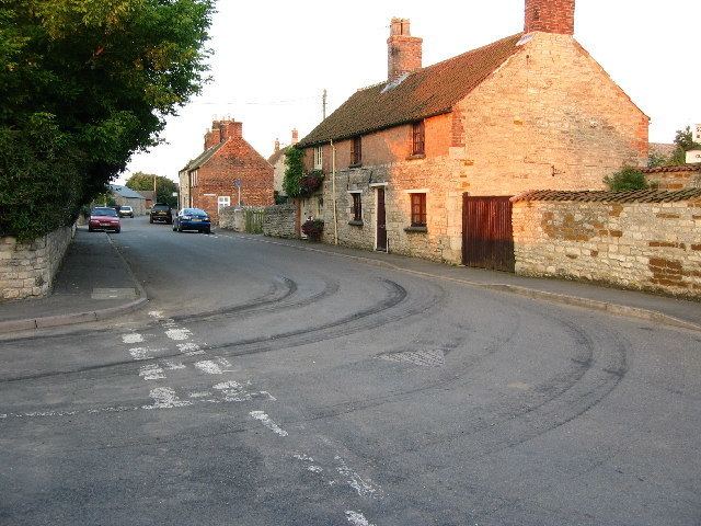
Sewstern is a village in the Melton district of east Leicestershire.
Map of Sewstern, Grantham, UK
It lies just south of Buckminster , with which it shares a primary school, situated between the two villages, and a parish council. The road bisecting the village along a north–south direction (Timber Hill and Stamford Road) is the Romano-Briton byway called Sewstern Lane, which at this point (and for most of its length) is the border between Lincolnshire and Leicestershire. The small part of Sewstern to the east of this road is now squeezed into Leicestershire, in a 'Leicestershire-annexe'. It serves as the Viking Way.
Nearby to the east along Gunby Road is Gunby. The village pub on Main Street is the Blue Dog. The village church is dedicated to Holy Trinity.
References
Sewstern Wikipedia(Text) CC BY-SA