
Country United States GNIS feature ID 0429732 Area 90.93 km² Population 4,455 (2010) | FIPS code 17-68757 Elevation 174 m Local time Thursday 12:53 PM | |
 | ||
Weather 7°C, Wind NE at 10 km/h, 100% Humidity | ||
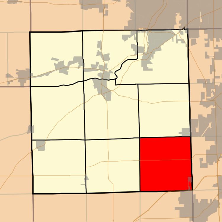
Seward Township occupies the 6 mile square in southeast corner of Kendall County, Illinois. As of the 2010 census, its population was 4,455 and it contained 1,451 housing units.
Contents
Map of Seward Township, IL, USA
History
Franklin was the original name of Seward Township. On November 14, 1850, the name changed to Seward, after William H. Seward, who served as governor of New York State and as a U.S. Senator from New York as well as Secretary of State in the Lincoln Administration.
Geography
According to the 2010 census, the township has a total area of 35.11 square miles (90.9 km2), of which 34.97 square miles (90.6 km2) (or 99.60%) is land and 0.14 square miles (0.36 km2) (or 0.40%) is water.
It contains portions of Minooka and Joliet. U.S. Route 52 crosses the township east to west, and I-80 runs along the southern boundary of the township.
Government
The township is governed by an elected Town Board of a Supervisor and four Trustees. The Township also has an elected Assessor, Clerk, and Highway Commissioner.