
Country United States FIPS code 37-60515 Elevation 171 m Population 3,214 (2000) | Time zone Eastern (EST) (UTC-5) GNIS feature ID 1022547 Zip code 27376 Area code Area code 910 | |
 | ||
Area 25.38 km² (21.24 km² Land / 4.144 km² Water) | ||
Seven Lakes is a census-designated place (CDP) in Moore County, North Carolina. It is located about 10–15 minutes away from the Pinehurst #2, where three different U.S. Opens have occurred, in 1999, 2005, and 2014. As of the 2000 census, the CDP population was 3,214.
Contents
- Map of Seven Lakes NC USA
- Features
- Areas
- Seven Lakes West
- Seven Lakes North South
- Geography
- Demographics
- References
Map of Seven Lakes, NC, USA
Features
Seven Lakes does not actually have seven lakes. It is said that there are around ten lakes in the immediate area.
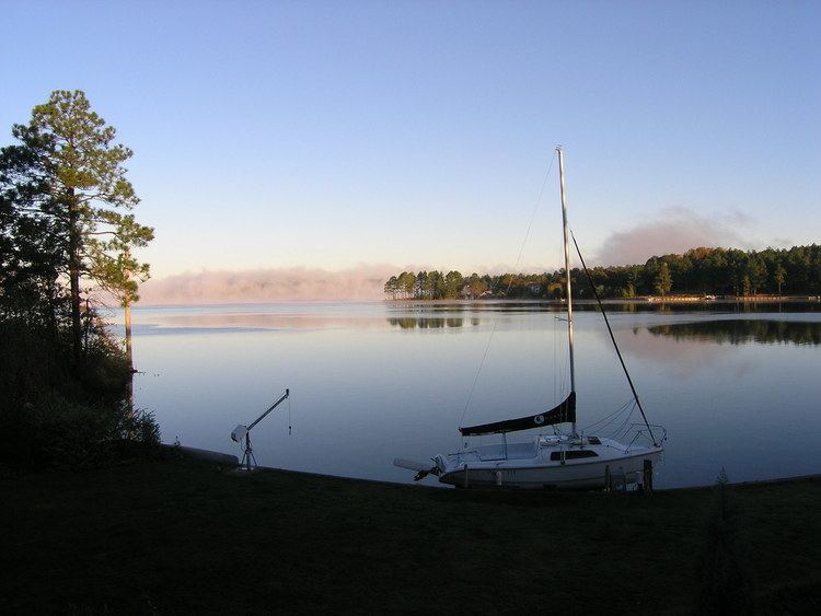
Many people in the area use the lakes for activities such as swimming and many different boating activities.
Areas
There are three separately gated sections that comprise Seven Lakes and share some amenities. The North side has eight or nine smaller lakes, the largest of which are Lake Sequoia and Lake Echo. Both of these lakes allow the use of boats with gasoline-fuelled engines, but the smaller lakes restrict use to boats with electric engines or only human-powered boats. Use of the lakes and other amenities, however, is restricted to local residents and their guests. Guest cards may be purchased annually for a nominal fee by landowners. Amenities located in the North side include a community swimming pool, tennis courts, and a stable/horseback riding area. The Seven Lakes Country Club and Golf Course is located on the South side. The West side is the newest and generally the most expensive of the three areas. It has Beacon Ridge Country Club within its gates. It also has Lake Auman, the largest of all of the seven Lakes.
Seven Lakes West
Seven Lakes North & South
Geography
Seven Lakes is located at 35°15′44″N 79°35′6″W (35.262296, -79.584963).
According to the United States Census Bureau, the CDP has a total area of 9.8 square miles (25 km2), of which, 8.2 square miles (21 km2) of it is land and 1.6 square miles (4.1 km2) of it (16.33%) is water.
Demographics
As of the census of 2000, there were 3,214 people, 1,399 households, and 1,141 families residing in the CDP. The population density was 391.8 people per square mile (151.3/km²). There were 1,537 housing units at an average density of 187.4 per square mile (72.4/km²). The racial makeup of the CDP was 94.96% White, 3.73% African American, 0.22% Native American, 0.19% Asian, 0.12% from other races, and 0.78% from two or more races. Hispanic or Latino of any race were 0.81% of the population.
There were 1,399 households out of which 17.9% had children under the age of 18 living with them, 76.3% were married couples living together, 4.4% had a female householder with no husband present, and 18.4% were non-families. 16.9% of all households were made up of individuals and 12.2% had someone living alone who was 65 years of age or older. The average household size was 2.26 and the average family size was 2.47.
In the CDP, the population was spread out with 14.9% under the age of 18, 2.3% from 18 to 24, 14.9% from 25 to 44, 25.5% from 45 to 64, and 42.5% who were 65 years of age or older. The median age was 60 years. For every 100 females there were 90.5 males. For every 100 females age 18 and over, there were 90.0 males.
The median income for a household in the CDP was $53,237, and the median income for a family was $59,180. Males had a median income of $50,909 versus $31,776 for females. The per capita income for the CDP was $32,070. None of the families and 0.5% of the population were living below the poverty line, including no under eighteens and 0.6% of those over 64.