
Area 4.06 km² Population 52 (2007) | Region Occitanie Canton Couiza Time zone CET (UTC+1) Local time Thursday 9:21 AM | |
 | ||
Weather 11°C, Wind E at 6 km/h, 66% Humidity | ||
Geography
The commune is situated on the Route Departmental D613 between Arques and Couiza. Mount Pech Cardou at an altitude of 795 m overlooks Serres village.
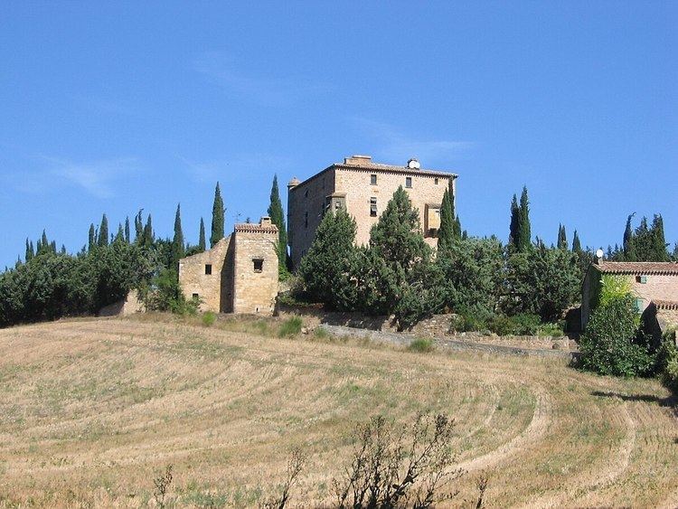
Sights
The village has a 16th-century chateau, church dedicated to St Pierre and Tinel wine museum with a 15th-century vaulted wine cellar.
A 17th-century restored bridge over the river Rialsesse has a Méridienne verte ("Green Meridian") marker. Another marker is situated outside the church at the old olive tree.
Economy
The area produces Chardonnay grapes used in Blanquette wine.
References
Serres, Aude Wikipedia(Text) CC BY-SA