
Country Turkmenistan Province Balkan Region | Local time Thursday 6:12 AM Team Sarydaş Serdar | |
 | ||
Weather 9°C, Wind NW at 11 km/h, 73% Humidity | ||
Serdar (formerly Kyzyl-Arvat or Gyzylarbat) is a location in Turkmenistan, located north-west of the capital, Ashkhabad on the road to the Caspian Sea. The population of Serdar is 50,000 people, mainly Turkmen. The main language spoken in the region is Turkmen. It is near the northwest end of the line of oases on the north slope of the Kopet Dag that extends southeast to Ashkhabad.
Contents
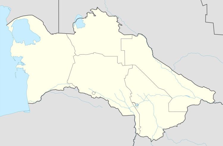
Map of Serdar, Turkmenistan
History
Serdar is close to the old Persian city of Farava. In ancient times, the region was inhabited by the Dahae, an Indo-European people.
During the Russian conquest several exploring expeditions reached here, but the main fighting was at Geok Tepe. The modern city was established in 1881 with a station on the Trans-Caspian Railway.
In July 1918, following his declaration of martial law in Ashgabat, Commissar V. Frolov, head of the Tashkent Cheka, came to Kyzyl-Arvat to impose the authority of the Tashkent Soviet. However the railway workers had heard of his execution of strike leaders in Ashgabat and organised an armed response. He was shot with some of his followers and the rest were disarmed. This action opened the way to the formation of the Transcaspian Government.
Climate
Serdar has a cool desert climate (Köppen climate classification BWk), with cool winters and very hot summers. Rainfall is generally light and erratic, and occurs mainly in the winter and autumn months.