
Population 296 (2011) Sovereign state United Kingdom Local time Monday 2:50 AM Civil parish Whitwell and Selside | OS grid reference SD539988 Post town KENDAL Dialling code 01539 | |
 | ||
Weather 5°C, Wind NE at 13 km/h, 81% Humidity | ||
Selside is a small village in rural Cumbria, situated about 6 miles (9.7 km) north of Kendal, close to the A6 road. It is now in the civil parish of Whitwell and Selside, though it was formerly in the parish of Kendal. The population of the civil parish taken at the 2011 census was 296.
Map of Selside, Kendal, UK
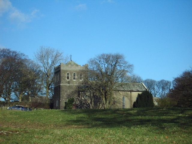
St. Thomas's Church at Selside dates from 1838, with the tower added in 1894. Near to the church, Selside Hall incorporates the remains of two pele towers of the 15th and 16th centuries, with 18th-century and later alterations and additions.
References
Selside Wikipedia(Text) CC BY-SA