
Native name río Seleguá | Length 102 km | |
 | ||
Main source Guatemala(Huehuetenango)2,200 m (7,200 ft) River mouth Presa de La Angostura in Chiapas Discharge Average rate:38 m/s (1,300 cu ft/s) (at Chojíl) | ||
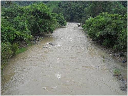
The Seleguá ([seleˈɣwa]) is a river in Guatemala. The river flows northwards from its sources in the highlands of Huehuetenango until it crosses the border with Mexico at 15.749467°N 91.918659°W / 15.749467; -91.918659 (Río Seleguá), and continues northwards into the Presa de La Angostura, one of Mexico's largest artificial lakes. The river's length in Guatemala is 102 kilometres (63 mi). The Selegua river basin cover an area of 1,535 square kilometres (593 sq mi) in Guatemala.
Map of Rio Sacum%C3%A1, Guatemala
References
Selegua River Wikipedia(Text) CC BY-SA