
Elevation 230 m Local time Sunday 10:00 PM | Traditional region Styria Municipality Videm Area 3.04 km² Population 188 (2002) | |
 | ||
Weather 5°C, Wind N at 6 km/h, 55% Humidity | ||
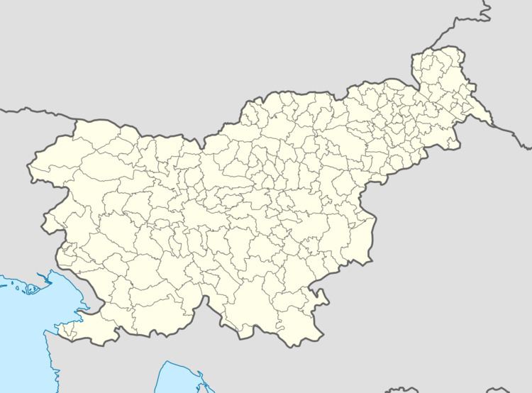
Sela ([ˈseːla]) is a settlement on the left bank of the Polskava River south of Ptuj in eastern Slovenia. It belongs to the Municipality of Videm and forms a more or less continuous settlement together with Barislovci. The area traditionally belonged to the Styria region. It is now included in the Drava Statistical Region.
Map of Sela, Slovenia
The local church, dedicated to the Holy Family, although technically in Barislovci, is known locally as the church at Sela. There is also a small chapel-shrine with a belfry at the village crossroads. It was built in 1920.
References
Sela, Videm Wikipedia(Text) CC BY-SA