Time zone MST (UTC6:30) Area 5.85 km² Population 21,000 (2000) Area code 1 (mobile: 80, 99) | Township Dawbon Postal codes 11271 Local time Monday 12:16 AM Postal code 11271 | |
 | ||
Weather 27°C, Wind SW at 14 km/h, 68% Humidity | ||
Seikkyi Kanaungto Township (Burmese: ဆိပ်ကြီးခနောင်တို မြို့နယ် [sʰeɪʔtɕí kʰənàʊɴtò mjo̰nɛ̀]) is located on the southwestern bank of Yangon river across from downtown Yangon, Myanmar. The township comprises eight wards, and is bounded by the Yangon river in the north, the Twante Canal in the east, and Twante Township in the south and west. The township is still largely rural and undeveloped mainly because it still lacks a bridge across the Yangon river to downtown.
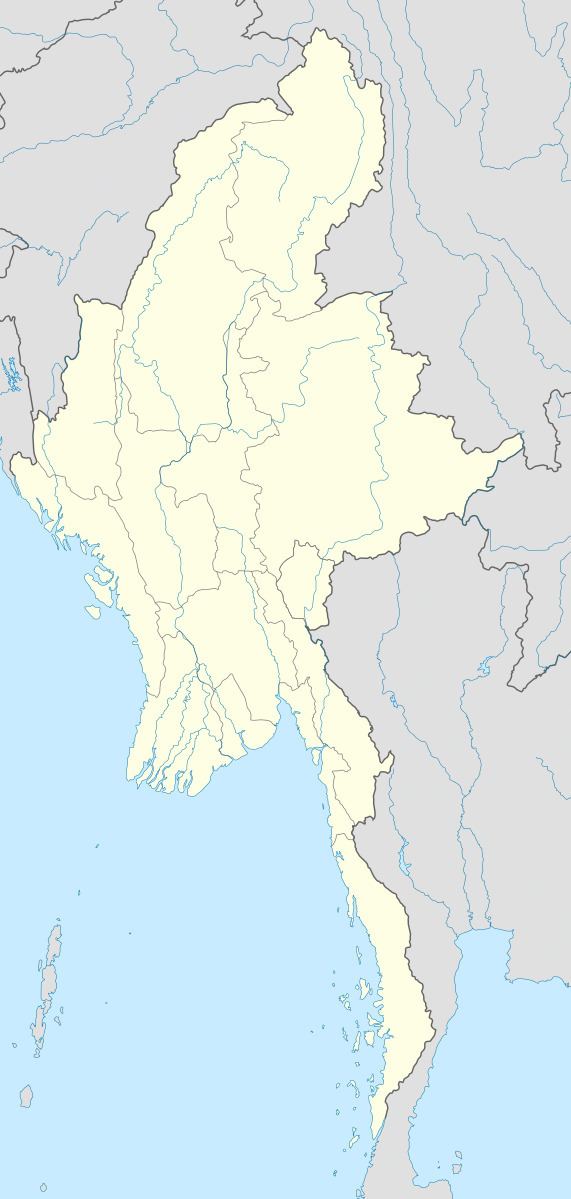
Map of Kanaungto, Myanmar (Burma)
Seikkyi Kanaungto has 16 primary schools, and one high school.
References
Seikkyi Kanaungto Township Wikipedia(Text) CC BY-SA
