
Country United States Time zone CST (UTC-6) Area 129.2 km² Population 599 (2010) | Established November 9, 1859 Elevation 166 m Local time Sunday 10:01 AM | |
 | ||
ZIP codes 62080, 62418, 62458, 62471 Weather 13°C, Wind SW at 19 km/h, 85% Humidity | ||
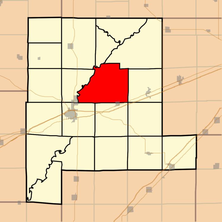
Sefton Township is one of twenty townships in Fayette County, Illinois, USA. As of the 2010 census, its population was 599 and it contained 256 housing units.
Contents
- Map of Sefton Township IL USA
- Geography
- Cities towns villages
- Extinct towns
- Cemeteries
- Major highways
- Airports and landing strips
- School districts
- Political districts
- References
Map of Sefton Township, IL, USA
Geography
According to the 2010 census, the township has a total area of 49.9 square miles (129 km2), of which 49.88 square miles (129.2 km2) (or 99.96%) is land and 0.02 square miles (0.052 km2) (or 0.04%) is water.
Cities, towns, villages
Extinct towns
Cemeteries
The township contains these seven cemeteries: Fairview, Forbis, Liberty, Mount Carmel, New Liberty, Padon and Zion.
Major highways
Airports and landing strips
School districts
Political districts
References
Sefton Township, Fayette County, Illinois Wikipedia(Text) CC BY-SA