
Barangays ZIP code 5709 | District Lone district Time zone PST (UTC+8) Area 111.6 km² | |
 | ||
Neighborhoods Abeira, Alegre, Aguila, Aras-asan, Sunogan, Alojado, Bacalan, Nabluan | ||
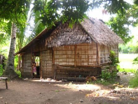
Abiera ricefield river sebaste antique panay visayas
Sebaste, officially the Municipality of Sebaste (Karay-a: Banwa kang Sebaste; Hiligaynon: Banwa sang Sebaste; Filipino: Bayan ng Sebaste), is a municipality in the province of Antique in the Western Visayas (Region VI) of the Philippines. The population was 17,907 at the 2015 census. In the 2016 electoral roll, it had 10,849 registered voters.
Contents
- Abiera ricefield river sebaste antique panay visayas
- Map of Sebaste Antique Philippines
- Geography
- Barangays
- Demographics
- References
Map of Sebaste, Antique, Philippines
Sebaste has 1 private high school (Saint Blaise High School) and 1 public high school (Sebaste High School/Sebaste National High School). Every February 3, people celebrate the annual feast of their patron saint.
Geography
Sebaste is located at 11°35′N 122°06′E.
According to the Philippine Statistics Authority, the municipality has a land area of 111.64 square kilometres (43.10 sq mi) constituting 7000409000000000000♠4.09% of the 2,729.17-square-kilometre- (1,053.74 sq mi) total area of Antique.
Barangays
Sebaste is politically subdivided into 10 barangays.
Demographics
In the 2015 census, Sebaste had a population of 17,907. The population density was 160 inhabitants per square kilometre (410/sq mi).
In the 2016 electoral roll, it had 10,849 registered voters.
Kinaray-a is the dominant language of Sebaste while Hiligaynon is used as a secondary language.