
 | ||
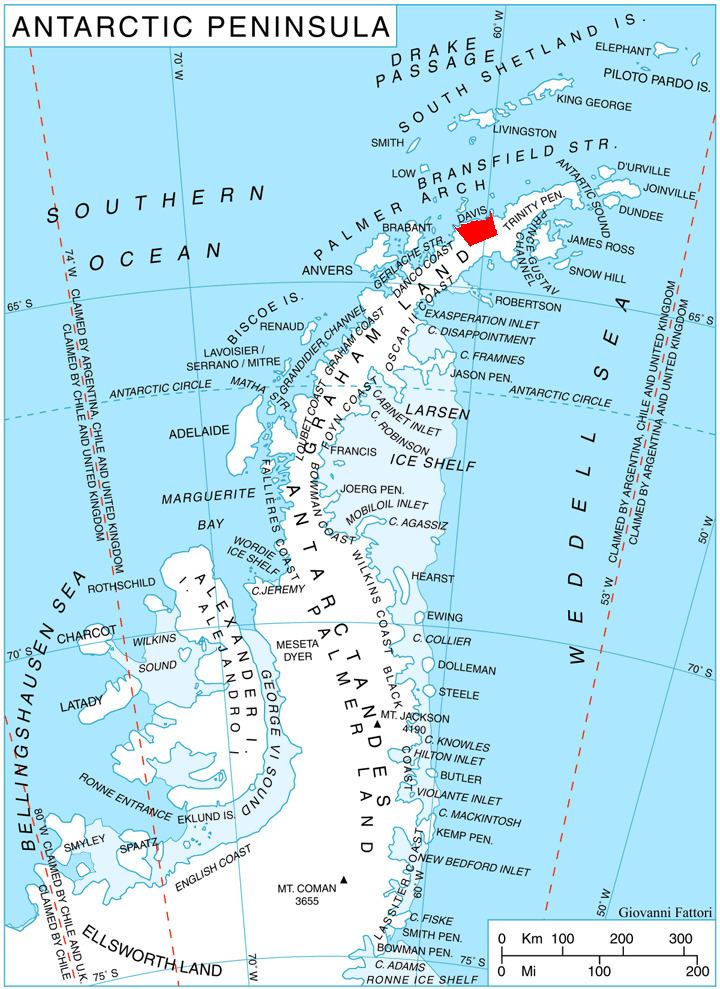
Seaplane Point (64°3′S 60°46′W) is a point at the south side of Curtiss Bay, on the northeast coast of Chavdar Peninsula on Davis Coast, Graham Land. Mapped from air photos taken by Hunting Aerosurveys (1955–57). Named by United Kingdom Antarctic Place-Names Committee (UK-APC) in association with Curtiss Bay; Glenn Curtiss, after whom the bay is named, pioneered seaplanes from 1911 onward.
Map
References
Seaplane Point Wikipedia(Text) CC BY-SA