
Country United States County Osage FIPS code 20-63675 Area 2.77 km² Zip code 66537 Local time Saturday 4:48 AM | Time zone Central (CST) (UTC-6) GNIS feature ID 0479457 Elevation 342 m Population 697 (2013) Area code 785 | |
 | ||
Weather 8°C, Wind NW at 26 km/h, 97% Humidity | ||
Scranton is a city in Osage County, Kansas, United States. As of the 2010 census, the city population was 710. It was named after the city of Scranton, Pennsylvania due to its coal mining.
Contents
- Map of Scranton KS 66537 USA
- History
- Geography
- Climate
- Demographics
- 2010 census
- 2000 census
- Education
- References
Map of Scranton, KS 66537, USA
History
Scranton was founded in 1871 as a coal town. It was named after Scranton, Pennsylvania.
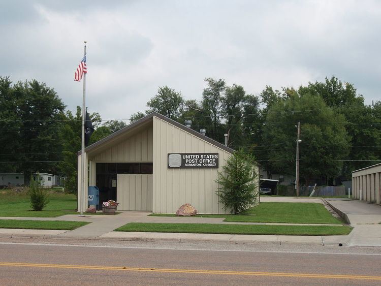
The first post office in Scranton was established in September 1872.
Geography
Scranton is located at 38°46′46″N 95°44′17″W (38.779307, -95.737918). According to the United States Census Bureau, the city has a total area of 1.07 square miles (2.77 km2), all of it land.
Climate
The climate in this area is characterized by hot, humid summers and generally mild to cool winters. According to the Köppen Climate Classification system, Scranton has a humid subtropical climate, abbreviated "Cfa" on climate maps.
Demographics
Scranton is part of the Topeka, Kansas Metropolitan Statistical Area.
2010 census
As of the census of 2010, there were 710 people, 265 households, and 189 families residing in the city. The population density was 663.6 inhabitants per square mile (256.2/km2). There were 297 housing units at an average density of 277.6 per square mile (107.2/km2). The racial makeup of the city was 97.6% White, 0.4% Native American, 0.6% Asian, 0.8% from other races, and 0.6% from two or more races. Hispanic or Latino of any race were 2.4% of the population.
There were 265 households of which 37.0% had children under the age of 18 living with them, 54.7% were married couples living together, 10.6% had a female householder with no husband present, 6.0% had a male householder with no wife present, and 28.7% were non-families. 24.2% of all households were made up of individuals and 11.3% had someone living alone who was 65 years of age or older. The average household size was 2.68 and the average family size was 3.19.
The median age in the city was 36.8 years. 30.3% of residents were under the age of 18; 7.7% were between the ages of 18 and 24; 23.2% were from 25 to 44; 24.2% were from 45 to 64; and 14.5% were 65 years of age or older. The gender makeup of the city was 48.7% male and 51.3% female.
2000 census
As of the census of 2000, there were 724 people, 263 households, and 181 families residing in the city. The population density was 675.3 people per square mile (261.3/km²). There were 289 housing units at an average density of 269.6 per square mile (104.3/km²). The racial makeup of the city was 95.44% White, 0.83% African American, 0.69% Native American, 0.14% Asian, and 2.90% from two or more races. Hispanic or Latino of any race were 1.52% of the population.
There were 263 households out of which 35.7% had children under the age of 18 living with them, 53.2% were married couples living together, 10.3% had a female householder with no husband present, and 30.8% were non-families. 25.1% of all households were made up of individuals and 12.9% had someone living alone who was 65 years of age or older. The average household size was 2.75 and the average family size was 3.34.
In the city, the population was spread out with 31.9% under the age of 18, 7.3% from 18 to 24, 29.7% from 25 to 44, 19.5% from 45 to 64, and 11.6% who were 65 years of age or older. The median age was 33 years. For every 100 females there were 90.0 males. For every 100 females age 18 and over, there were 94.1 males.
The median income for a household in the city was $37,794, and the median income for a family was $40,521. Males had a median income of $31,364 versus $22,083 for females. The per capita income for the city was $15,210. About 8.3% of families and 11.9% of the population were below the poverty line, including 18.6% of those under age 18 and 6.8% of those age 65 or over.
Education
Scranton is served by USD 434 Santa Fe Trail. USD 434 includes Carbondale, Overbrook and Scranton. The district high school is Santa Fe Trail High School.
The Santa Fe Trail Chargers won the Kansas State High School boys class 4A basketball championship in 1997 and the girls class 4A basketball championship in 1998.