
Country United States Elevation 260 m Local time Saturday 1:10 AM | GNIS feature ID 0453837 Area 92.93 km² Population 837 (2010) | |
 | ||
ZIP codes 47933, 47954, 47965, 47968 Weather 17°C, Wind S at 16 km/h, 70% Humidity | ||
Scott Township is one of eleven townships in Montgomery County, Indiana, United States. As of the 2010 census, its population was 837 and it contained 356 housing units.
Contents
- Map of Scott Township IN USA
- History
- Geography
- Cities towns villages
- Unincorporated towns
- Cemeteries
- Major highways
- School districts
- Political districts
- References
Map of Scott Township, IN, USA
History
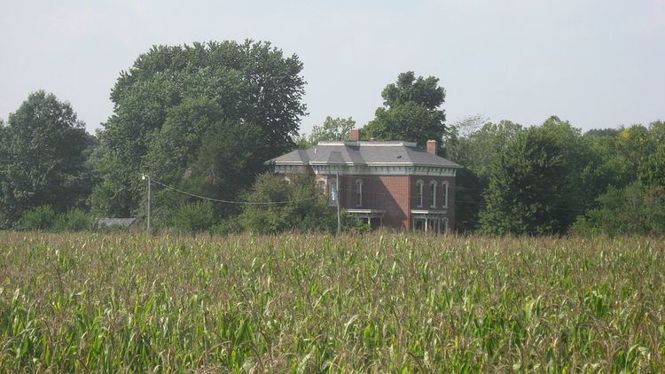
Ashby was listed on the National Register of Historic Places in 1980.
Geography
According to the 2010 census, the township has a total area of 35.88 square miles (92.9 km2), of which 35.87 square miles (92.9 km2) (or 99.97%) is land and 0.01 square miles (0.026 km2) (or 0.03%) is water.
Cities, towns, villages
Unincorporated towns
Cemeteries
The township contains these three cemeteries: James, Old Pottinger and Wasson.
Major highways
School districts
Political districts
References
Scott Township, Montgomery County, Indiana Wikipedia(Text) CC BY-SA