
OS grid reference TA014454 Sovereign state United Kingdom Postcode district YO25 Dialling code 01964 | Post town DRIFFIELD Local time Saturday 1:35 AM | |
 | ||
Weather 1°C, Wind SW at 5 km/h, 96% Humidity | ||
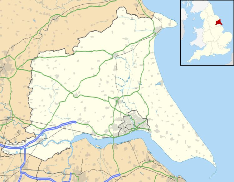
Scorborough is a hamlet in the East Riding of Yorkshire, England. It is situated on the A164 road, about 4 miles (6.4 km) north of Beverley and 8 miles (13 km) south of Driffield.
Map of Scorborough, Driffield, UK
It forms part of the civil parish of Leconfield.
The church of St Leonard is designated a Grade I listed building and is now recorded in the National Heritage List for England, maintained by Historic England.
References
Scorborough Wikipedia(Text) CC BY-SA