
Traversed by Road Elevation 1,278 m | ||
 | ||
Similar | ||
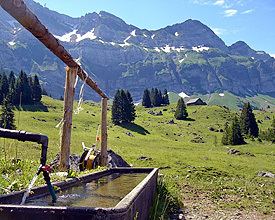
Schwägalp Pass (el. 1,278 m or 4,193 ft) is a high mountain pass in the Alps between the cantons of St. Gallen and Appenzell Ausserrhoden in Switzerland.
Map of Schw%C3%A4galp Pass, 9107 Hundwil, Switzerland
It connects Nesslau-Neu St. Johann in Toggenburg in St. Gallen and Urnäsch in Appenzell Ausserrhoden. It is named after the Schwägalp peak (el. 1,360 m or 4,462 ft) on the north face of Säntis (el. 2,502 m or 8,209 ft), which is the starting point of the aerial tramway to the top of Säntis. It was built in 1935.
The pass road has a maximum grade of 12 percent (12%).
References
Schwägalp Pass Wikipedia(Text) CC BY-SA