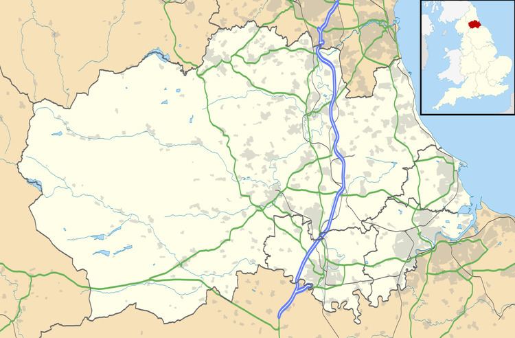
OS grid reference NZ258237 Postcode district DL5 Post town Borough of Darlington | Sovereign state United Kingdom Local time Friday 11:03 AM | |
 | ||
Weather 9°C, Wind NE at 3 km/h, 64% Humidity | ||
School Aycliffe is a village located in County Durham, England. It is situated a short distance to the west of Newton Aycliffe and to the east of Heighington, County Durham. The name derives from a Viking called Scula who owned land in this part of South Durham.
Map of School Aycliffe, Newton Aycliffe, UK
School Aycliffe is split into two by the road named School Aycliffe Lane. One side has the older, original estate. This is part of the County Durham unitary area, formally Borough of Sedgefield. The School Aycliffe Wetlands is a County Durham wildlife habitat site which is situated behind this estate. The other side is now a new housing estate named 'The Chestnuts', and part of Borough of Darlington. The now closed Aycliffe Hospital, a mental health institute, was located here.
References
School Aycliffe Wikipedia(Text) CC BY-SA
