
Sovereign state United Kingdom Postcode district BD19 | Post town CLECKHEATON Local time Friday 10:49 AM Dialling code 01274 | |
 | ||
Weather 8°C, Wind E at 14 km/h, 70% Humidity | ||
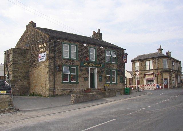
Scholes is a village near Cleckheaton, West Yorkshire, England.
Contents
Map of Scholes, UK
The village is 5 miles (8 km) south of Bradford between Wyke and Cleckheaton near to the M62 motorway.
The village was originally known as "Scales" and was a hamlet in the township of Cleckheaton. In the 18th century the most prominent industry in the village was "card making" (combing cotton or linen.). Later on a Coal mine opened in the area but that closed early in the 20th century.
Other Scholes in West Yorkshire
There are two other villages and a hamlet in West Yorkshire known as "Scholes". One village is near Holmfirth, the other is near Leeds and a hamlet near Oakworth, near Keighley. For others see Scholes.
References
Scholes, Cleckheaton Wikipedia(Text) CC BY-SA