
Time zone CET/CEST (UTC+1/+2) Area 2.71 km² Postal code 56825 Dialling code 02677 | Elevation 420 m (1,380 ft) Postal codes 56825 Local time Friday 10:23 AM Population 153 (31 Dec 2008) | |
 | ||
Weather 6°C, Wind E at 24 km/h, 80% Humidity | ||
Schmitt is an Ortsgemeinde – a municipality belonging to a Verbandsgemeinde, a kind of collective municipality – in the Cochem-Zell district in Rhineland-Palatinate, Germany. It belongs to the Verbandsgemeinde of Ulmen, whose seat is in the like-named town.
Contents
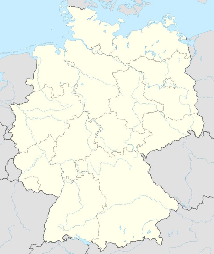
Map of Schmitt, Germany
Location
The municipality lies in the southern Eifel, roughly 1.5 km southwest of Alflen and 8 km northwest of the river Moselle at Bremm.
History
The placename Schmitt comes from the German word Schmied, which means the same as – and is cognate with – the English word “smith”. Before the mid 18th century, the southern Eifel was an iron ore production centre of Europe-wide importance. The rivers and streams were harnessed to work the smiths’ bellows, and the forests afforded the needed firewood.
Beginning in 1794, Schmitt lay under French rule. In 1815 it was assigned to the Kingdom of Prussia at the Congress of Vienna. Since 1946, it has been part of the then newly founded state of Rhineland-Palatinate.
Municipal council
The council is made up of 6 council members, who were elected by majority vote at the municipal election held on 7 June 2009, and the honorary mayor as chairman.
Mayor
Schmitt’s mayor is Wilfried Linden, and his deputy is Andreas Peifer.
Coat of arms
The municipality’s arms might be described thus: A pale Or charged with a broadsword palewise sable, the hilt to chief, between vert an oak sprig slipped bendwise sinister leafed of four and fructed of two of the first, and gules three ears of wheat surmounted in base by a sickle of the first.
Buildings
The following are listed buildings or sites in Rhineland-Palatinate’s Directory of Cultural Monuments: