
Location Manitoba, Canada Primary outflows Schist Creek Surface area 22.6 km (8.7 sq mi) | Type Glacial Basin countries Canada Area 22.6 km² | |
 | ||
Primary inflows | ||
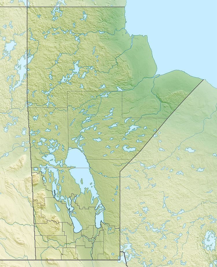
Schist Lake is located approximately 3 km southeast of Flin Flon. The lake has a maximun depth of 30m. It is composed of four main channels, the West Arm, Northwest Arm, Inlet Arm and Northeast Arm. It drains into Lake Athapapuskow via Schist Creek and is part of the Nelson River watershed. The Flin Flon/Channing Water Aerodrome is located on the north end of the Northwest Arm.
Map of Schist Lake, Canada
The name comes from the predominant type of metamorphic rock which surrounds the lake, part of the Canadian Shield. It was originally called Manistikiwan which is Cree for "Devil's Head Lake" This name was later applied to nearby Big Island Lake, Manitoba.
References
Schist Lake, Manitoba Wikipedia(Text) CC BY-SA