
Country United States GNIS feature ID 1555581 | Time zone Eastern (EST) (UTC-5) Local time Thursday 8:30 PM | |
 | ||
Weather 13°C, Wind NE at 2 km/h, 31% Humidity | ||
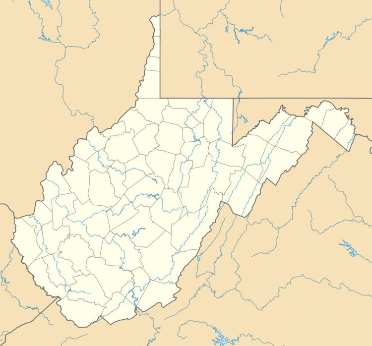
Scary is an unincorporated community in Putnam County, West Virginia, United States. Its post office closed in 1931.
Contents
Map of Scary, Teays Valley, WV 25560, USA
The community is located at the mouth of Scary Creek on the Kanawha River along U.S. Route 35.
History
During the US Civil War, the area that would become Scary, West Virginia was the site of the first Confederate victory in Kanawha Valley, on July 17, 1861. This is commemorated by two distinct plaques, very near to each other, in the town today.
A post office was established as Scary in 1886, and remained in operation until it was discontinued in 1931.
References
Scary, West Virginia Wikipedia(Text) CC BY-SA