
Population 220 (2011) Civil parish Scagglethorpe Sovereign state United Kingdom | OS grid reference SE835725 | |
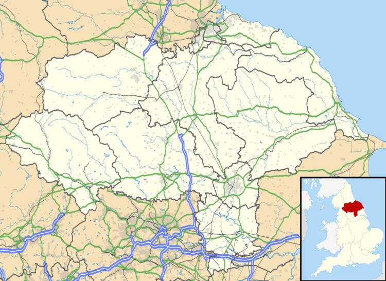 | ||
Scagglethorpe is a village and civil parish in the Ryedale district of North Yorkshire, England. It is situated just south from the A64 road, 3 miles (5 km) east from Malton and almost midway between York and Scarborough.
Map of Scagglethorpe, Malton, UK
To the east of Bull Piece Lane, 700 yards (640 m) south from the village, is evidence of Iron Age or Roman ditches and rectilinear enclosures, and within the village have been found fragments of Roman pottery from the 1st century CE. On Charlton Place is the site of a medieval manor house. Just south from the A64, 500 yards (457 m) west from the village, have been found Roman coins and a Celtic brooch.
In the 1086 Domesday Book Scagglethorpe is written as "Scachetorp". The manor, in the East Riding Hundred of Scard, comprised one household. Lordship of the manor had passed to Robert, Count of Mortain, who also became Tenant-in-chief.
Scagglethorpe is derived from the Viking word "Schachetorp", meaning hamlet of a man called Skakull or Skakli.
On Village Street is Scagglethorpe Manor, a Grade II listed 17th-century farmhouse with an early-19th-century wing. Pevsner also notes a c.1816 Gothic-style Wesleyan Methodist chapel and a cottage with a Gothic porch. The chapel is part of the Malton Methodist Circuit.
Village facilities include a public house, playing field and a village hall.