
Component
highways: AH26 (N10) Length 192 km | South end: Kabacan, Cotabato | |
 | ||
North end: Puerto, Cagayan de Oro, Misamis Oriental Major cities Valencia City, Malaybalay, Cagayan de Oro Towns Manolo Fortich, Sumilao, Maramag, Bukidnon, Don Carlos | ||
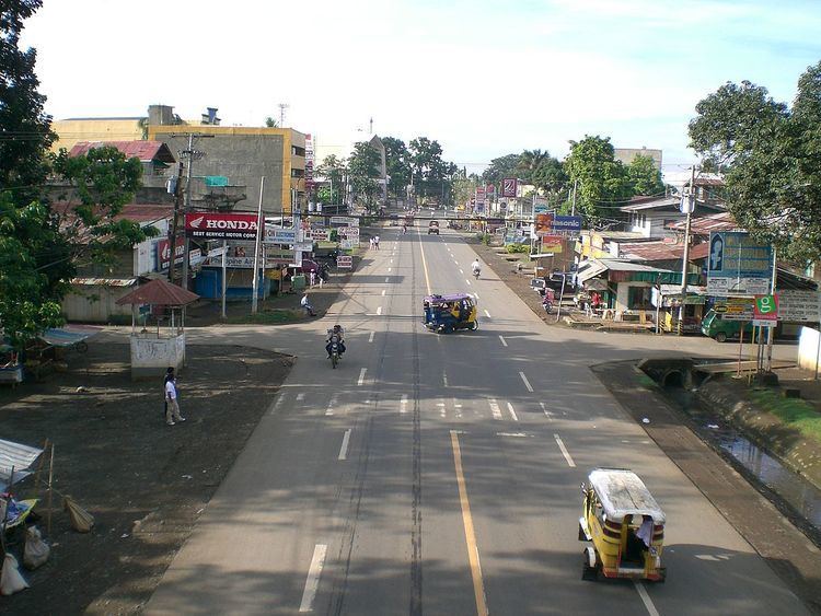
Sayre Highway is the portion of the Philippine national highway that starts from Puerto, Cagayan de Oro to Kabacan, North Cotabato. It traverses the provinces of Misamis Oriental, Bukidnon and North Cotabato.
Map of Sayre Hwy, Philippines
The highway's name was Route 3 but was changed to Sayre Highway's, in honor of Francis Bowes Sayre, Sr., the U.S. Philippine High Commissioner who spearheaded its construction. It extends southward through central Mindanao for a distance of about 100 miles, linking the northern and southern arms of Route 1 (Digos-Butuan Highway). This section of the Philippine national highway was constructed during the American occupation of the Philippines.
References
Sayre Highway Wikipedia(Text) CC BY-SA