
Country India District Jalor PIN 343022 Elevation 117 m Local time Thursday 10:58 PM ISO 3166 code ISO 3166-2:IN | State Rajasthan Time zone IST (UTC+5:30) Telephone code 02977 Population 28,000 (2011) Area code 02977 | |
 | ||
Weather 28°C, Wind S at 6 km/h, 33% Humidity | ||
Sayala is a Village in the Jalore district of Rajasthan state of North western India. It is the headquarters of Sayala Tehsil. Sayla also have SDM ( Sub District Magistrate ) Headquarter. It is connected with SH-16 Chetak Road/ Border Road Organisation. Its border touches the Barmer District. The legislative of Sayla is Jalore.
Contents
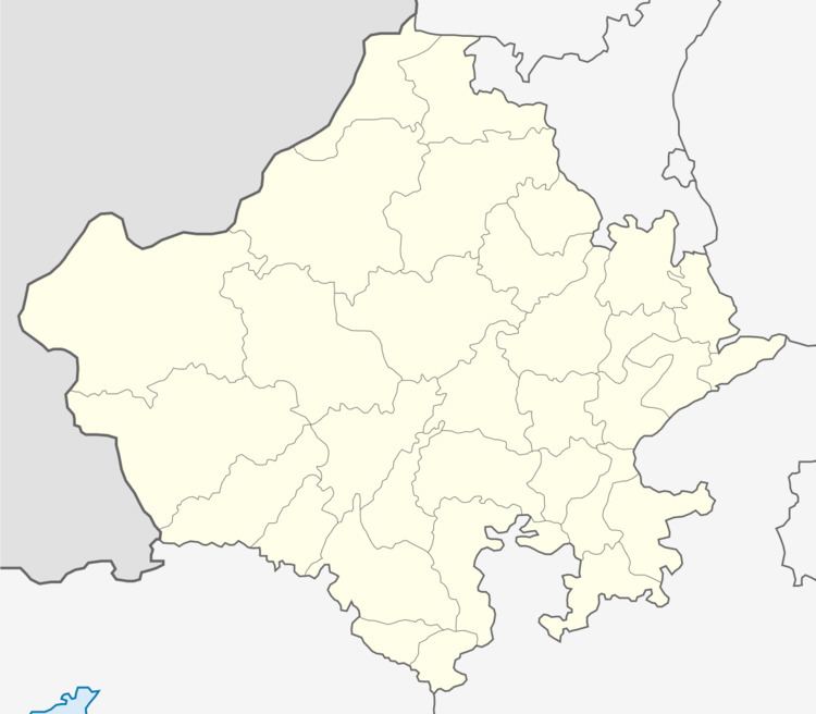
Map of Sayla, Rajasthan 343022
Demographics
As of 2001 India census, Sayala had a population of 137804. Males constitute 6,657 of the population and females 6,216.
References
Sayala (India) Wikipedia(Text) CC BY-SA