
Sovereign state United Kingdom Postcode district NG13 Dialling code 01949 | Post town NOTTINGHAM | |
 | ||
Saxondale is a small hamlet in the Rushcliffe borough of Nottinghamshire, England, situated just off the A52 road near to its junction with the A46 road at the Saxondale roundabout. The population is included in the civil parish of Bingham. There is evidence of an Anglo-Saxon fort with earthworks visible from the main road.
Map of Saxondale, Nottingham, UK
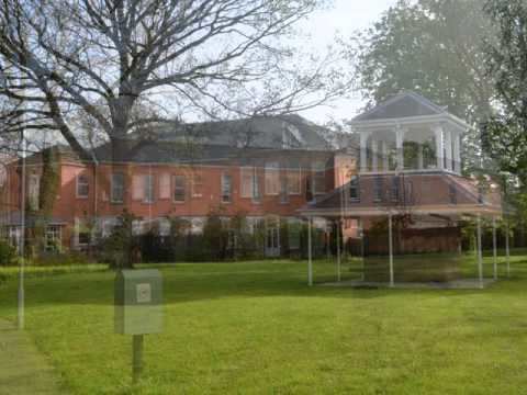
The village is just south of the Nottingham to Grantham railway line where there is still evidence of a spur, known as the Barnstone branch, from the former Saxondale Junction through present-day Bingham to Melton Mowbray. The hamlet is close to the residential area of Upper Saxondale, a redevelopment of the former Saxondale Hospital site.
References
Saxondale, Nottinghamshire Wikipedia(Text) CC BY-SA