
Country United States County Rice Time zone Central (CST) (UTC-6) Elevation 497 m | Township Wilson Area code(s) 620 Local time Thursday 11:00 AM | |
 | ||
Weather 17°C, Wind S at 42 km/h, 75% Humidity | ||
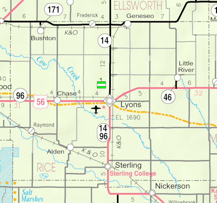
Saxman is an unincorporated community in southwestern Wilson Township, Rice County, Kansas, United States. Located along Cow Creek just above its confluence with Jarvis Creek, it lies along local roads southeast of Lyons, the county seat of Rice County.
Contents
Map of Saxman, KS 67579, USA
History
For millennia, the land now known as Kansas was inhabited by Native Americans. In 1803, most of modern Kansas was secured by the United States as part of the Louisiana Purchase. In 1854, the Kansas Territory was organized, then in 1861 Kansas became the 34th U.S. state. In 1867, Rice County was founded.
A post office was opened in Saxman in 1891, and remained in operation until it was discontinued in 1952.
In May 2007, Saxman was severely affected by flooding from Cow Creek. The flooding washed away roads and farms and damaged many of the community's residences. Several of the community's residents were forced to evacuate.