
Postal code 272 00 Elevation 5 m Municipality Ilida | Time zone EET (UTC+2) Vehicle registration ΗΑ Local time Thursday 1:20 PM Regional unit Elis | |
 | ||
Weather 22°C, Wind NW at 11 km/h, 35% Humidity | ||
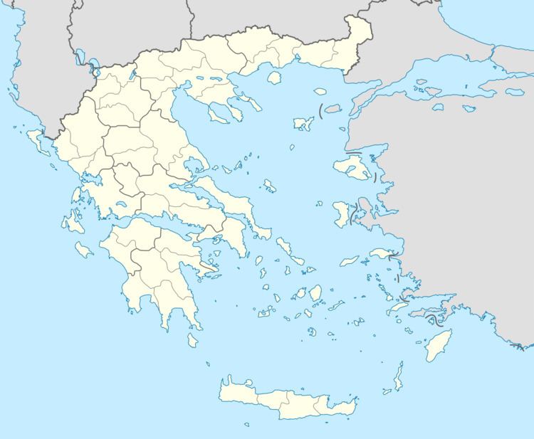
Savalia (Greek: Σαβάλια) is a village in the municipal unit of Amaliada, Elis, southern Greece. It is situated in the plains near the Ionian Sea, 1 km northwest of Roviata, 2 km southwest of Ampelokampos, 3 km east of Palaiochori, 5 km southeast of Gastouni and 5 km northwest of Amaliada. The Greek National Road 9 (Patras - Pyrgos) passes southwest of the village. The railway from Patras to Pyrgos passes northeast of the village. Its population is 1,206 (2011 census).
Map of Savalia 272 00, Greece
References
Savalia Wikipedia(Text) CC BY-SA