
Country United States Time zone Eastern (EST) (UTC-5) Population 2,944 (2010) Zip code 49453 | Elevation 627 ft (191 m) Area code(s) 269 Local time Thursday 4:17 AM | |
 | ||
Weather -4°C, Wind SE at 10 km/h, 68% Humidity Points of interest Schultz Park, Saugatuck Douglas Historical | ||
Saugatuck Township is a civil township of Allegan County in the U.S. state of Michigan. The population was 2,944 at the 2010 census, down from 3,590 at the 2000 census. The drop is due to Douglas incorporating into a city.
Contents
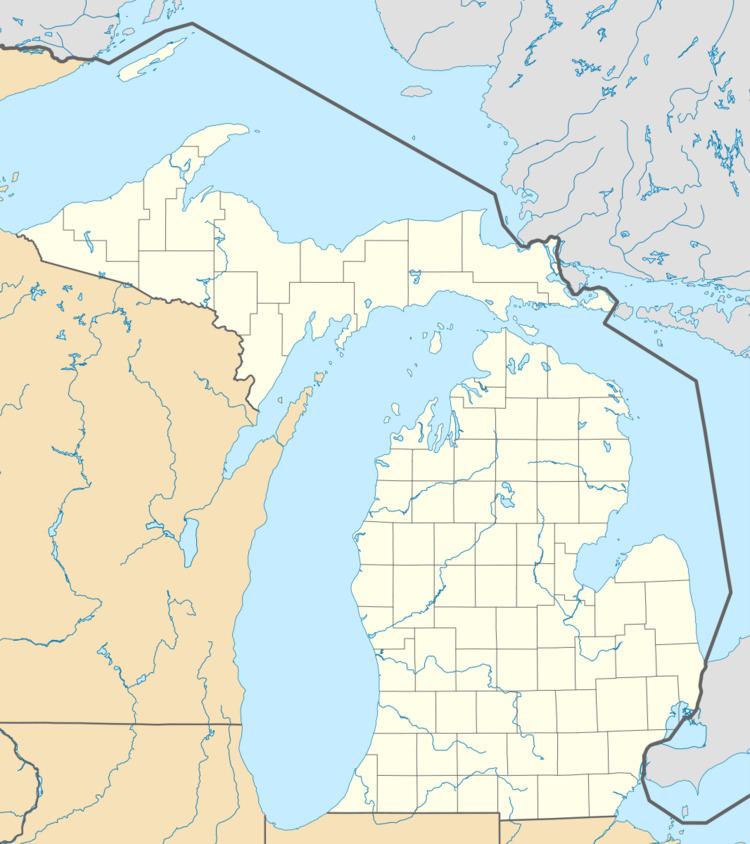
Map of Saugatuck Township, MI, USA
The cities of Saugatuck and Douglas are within the township survey area, but are not a part of the township.
Communities
There are no villages with in the township, but there are two unincorporated communities:
History
In 1837, Oshea Wilder and his sons founded the community named for the southeastern Asia city of Singapore at the mouth of the Kalamazoo River. In 1875, Singapore was abandoned.
On December 13, 2004, Douglas residents voted to adopt a charter changing the status of the village into a city form of government removing Douglas from the Township.
From 2004-6, Oklahoma billionaire Aubrey McClendon bought 400 acres (160 ha) of undeveloped duneland in Saugatuck Township for $39.5 million with plans to build luxury homes, 28 condos, a hotel, a marina, and a golf course. In 2006, the Saugatuck Township Board re-zoned the land, making McClendon unable to build his planned project. The Saugatuck Dunes Coastal Alliance opposes McClendon's plans, citing environmental concerns. In 2009, McClendon sold 171 acres (69 ha) of the land in order to alleviate the group's concerns. In March 2010, McClendon sued the township in federal court to overturn the zoning. The township has spent more than $250,000 fighting the lawsuit, and has raised taxes in the township in order to raise revenue.
Geography
According to the United States Census Bureau, the township has a total area of 24.2 square miles (62.7 km2), of which 23.4 square miles (60.5 km2) is land and 0.85 square miles (2.2 km2), or 3.50%, is water.
Demographics
As of the census of 2000, there were 3,590 people, 1,581 households, and 937 families residing in the township. The population density was 142.2 per square mile (54.9/km²). There were 2,089 housing units at an average density of 82.7 per square mile (31.9/km²). The racial makeup of the township was 96.43% White, 0.42% African American, 0.31% Native American, 0.22% Asian, 0.03% Pacific Islander, 1.25% from other races, and 1.34% from two or more races. Hispanic or Latino of any race were 4.12% of the population.
There were 1,581 households out of which 24.7% had children under the age of 18 living with them, 48.1% were married couples living together, 8.2% had a female householder with no husband present, and 40.7% were non-families. 33.3% of all households were made up of individuals and 13.6% had someone living alone who was 65 years of age or older. The average household size was 2.20 and the average family size was 2.82.
In the township the population was spread out with 20.8% under the age of 18, 4.6% from 18 to 24, 26.3% from 25 to 44, 30.6% from 45 to 64, and 17.8% who were 65 years of age or older. The median age was 44 years. For every 100 females there were 97.5 males. For every 100 females age 18 and over, there were 97.0 males.
The median income for a household in the township was $43,771, and the median income for a family was $49,600. Males had a median income of $37,845 versus $30,543 for females. The per capita income for the township was $30,056. About 5.4% of families and 7.9% of the population were below the poverty line, including 10.4% of those under age 18 and 4.6% of those age 65 or over.