
Time zone Thailand (UTC+7) | Amphoe Mueang Yala Population 5,155 (2005) | |
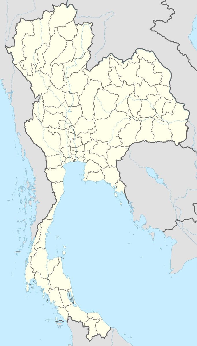 | ||
Sateng Nok (Thai: สะเตงนอก) is a subdistrict (tambon) in Mueang Yala District, Yala Province, southern Thailand. It forms the eastern part of the town of Yala and the surrounding rural area and has recently gained status as a town in its own right. As of 2005 it had a total population of 26,479 people and 13 villages under its jurisdiction. It lies on the border with Pattani Province in the north of Yala Province. It lies along Thailand Route 4082 off Thailand Route 4106, south of Khao Tum and north of Krong Pinang and the Yala Railway runs through the centre of the urban area. The Tham Phab Khien Fa Panang caves lie to the east of Sateng on the way to Budi and contain some 500-year-old rock paintings. The area was affected by flooding in November/December 2011 and several people lost their lives.