
Length 199.6 km | ||
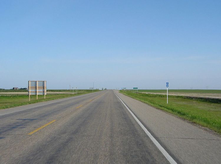 | ||
Highway 42 is a highway in the Canadian province of Saskatchewan. It runs from the intersection of Highway 2 and Highway 202 near Tuxford until Highway 15. Highway 42 is about 199 km (124 mi.) long.
Map of SK-42, Saskatchewan, Canada
The highway also passes the communities of Marquis, Keeler, Brownlee, Eyebrow, Central Butte, Lawson, Riverhurst and Lucky Lake, Saskatchewan.
Highway 42 crosses Lake Diefenbaker on the 3-km long Riverhurst Ferry route and ice road in the winter.
References
Saskatchewan Highway 42 Wikipedia(Text) CC BY-SA