
Time zone CST (UTC-6) Area 121.8 km² Population 286 (2010) | Established November 5, 1867 Elevation 201 m Local time Wednesday 2:02 PM | |
 | ||
ZIP codes 61917, 61919, 61930, 61942, 61943 Weather 6°C, Wind NE at 24 km/h, 36% Humidity | ||
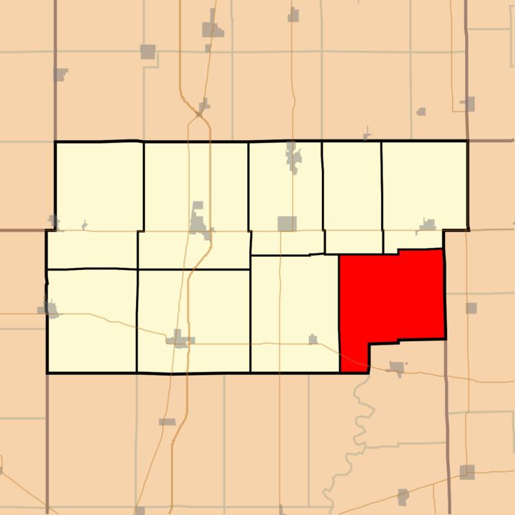
Sargent Township is one of nine townships in Douglas County, Illinois, USA. As of the 2010 census, its population was 286 and it contained 127 housing units. The township contains Walnut Point State Park.
Contents
- Map of Sargent Township IL USA
- Geography
- Cemeteries
- Major highways
- School districts
- Political districts
- References
Map of Sargent Township, IL, USA
Geography
According to the 2010 census, the township has a total area of 47.02 square miles (121.8 km2), of which 46.95 square miles (121.6 km2) (or 99.85%) is land and 0.07 square miles (0.18 km2) (or 0.15%) is water.
Cemeteries
The township contains these three cemeteries: Albin, Gwinn and Pleasant Grove.
Major highways
School districts
Political districts
References
Sargent Township, Douglas County, Illinois Wikipedia(Text) CC BY-SA