
Largest city Gwinner Time zone Central: UTC-6/-5 Area 2,246 km² Population 3,890 (2013) Unemployment rate 2.3% (Apr 2015) | Congressional district At-large Website www.sargentnd.com Founded 1883 County seat Forman | |
 | ||
Cities Forman, Milnor, Gwinner, Cogswell, Rutland, Cayuga Rivers LaBelle Creek, Shortfoot Creek, Wild Rice River, Wild Rice Creek, La Belle Creek, Crooked Creek, Englevale Slough | ||
Sargent County is a county located in the U.S. state of North Dakota. As of the 2010 census, the population was 3,829. Its county seat is Forman. The county was formed in 1883.
Contents
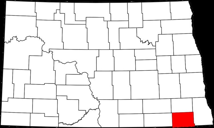
- Map of Sargent County ND USA
- History
- Geography
- Major highways
- Adjacent counties
- National protected areas
- 2000 census
- 2010 census
- Cities
- Census designated place
- Unincorporated community
- References
Map of Sargent County, ND, USA
History
In 1997 the Brampton Lutheran Church (originally built in 1908) was moved to Sletta near Radøy in Norway and reconstructed there. It is now called Emigrantkirka (Emigrant Church).
The Sargent County Courthouse, a Beaux Arts-style building built in 1910, is listed on the U.S. National Register of Historic Places.
Geography
According to the U.S. Census Bureau, the county has a total area of 867 square miles (2,250 km2), of which 859 square miles (2,220 km2) is land and 8.4 square miles (22 km2) (1.0%) is water.
Major highways
Adjacent counties
National protected areas
2000 census
As of the census of 2000, there were 4,366 people, 1,786 households, and 1,243 families residing in the county. The population density was 5 people per square mile (2/km²). There were 2,016 housing units at an average density of 2 per square mile (1/km²). The racial makeup of the county was 98.24% White, 0.05% Black or African American, 0.46% Native American, 0.05% Asian, 0.55% from other races, and 0.66% from two or more races. 0.73% of the population were Hispanic or Latino of any race. 37.5% were of German and 35.4% Norwegian ancestry.
There were 1,786 households out of which 30.30% had children under the age of 18 living with them, 61.00% were married couples living together, 3.90% had a female householder with no husband present, and 30.40% were non-families. 27.70% of all households were made up of individuals and 14.10% had someone living alone who was 65 years of age or older. The average household size was 2.43 and the average family size was 2.99.
In the county, the population was spread out with 26.50% under the age of 18, 5.30% from 18 to 24, 25.70% from 25 to 44, 25.70% from 45 to 64, and 16.90% who were 65 years of age or older. The median age was 40 years. For every 100 females there were 110.60 males. For every 100 females age 18 and over, there were 110.10 males.
The median income for a household in the county was $37,213, and the median income for a family was $44,063. Males had a median income of $34,222 versus $19,844 for females. The per capita income for the county was $18,689. About 6.00% of families and 8.20% of the population were below the poverty line, including 8.90% of those under age 18 and 11.80% of those age 65 or over.
2010 census
As of the 2010 United States Census, there were 3,829 people, 1,675 households, and 1,113 families residing in the county. The population density was 4.5 inhabitants per square mile (1.7/km2). There were 2,004 housing units at an average density of 2.3 per square mile (0.89/km2). The racial makeup of the county was 98.0% white, 0.5% American Indian, 0.2% Asian, 0.1% Pacific islander, 0.1% black or African American, 0.3% from other races, and 0.7% from two or more races. Those of Hispanic or Latino origin made up 1.3% of the population. In terms of ancestry, 51.3% were German, 35.9% were Norwegian, 11.8% were Swedish, 8.4% were Irish, and 3.0% were American.
Of the 1,675 households, 27.1% had children under the age of 18 living with them, 57.3% were married couples living together, 4.7% had a female householder with no husband present, 33.6% were non-families, and 30.2% of all households were made up of individuals. The average household size was 2.26 and the average family size was 2.79. The median age was 45.9 years.
The median income for a household in the county was $49,318 and the median income for a family was $59,531. Males had a median income of $43,594 versus $30,152 for females. The per capita income for the county was $26,553. About 5.7% of families and 7.8% of the population were below the poverty line, including 10.5% of those under age 18 and 10.4% of those age 65 or over.