
Country United States Time zone CST (UTC-6) Elevation 169 m Local time Wednesday 11:16 AM | Established November 6, 1849 ZIP codes 60447, 60450 Area 93.81 km² Population 6,122 (2010) | |
 | ||
Weather 1°C, Wind E at 14 km/h, 56% Humidity | ||
Saratoga Township (T34N R7E) is one of seventeen townships in Grundy County, Illinois, USA. As of the 2010 census, its population was 6,122 and it contained 2,541 housing units.
Contents
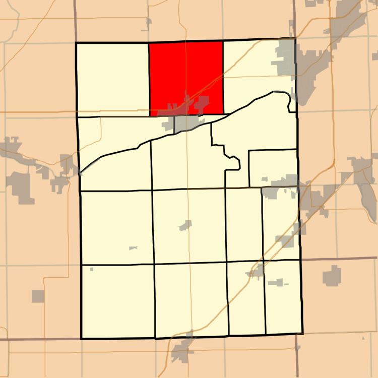
- Map of Saratoga Township IL USA
- Geography
- Cities towns villages
- Unincorporated towns
- Cemeteries
- Major highways
- Airports and landing strips
- Political districts
- References
Map of Saratoga Township, IL, USA
Geography
According to the 2010 census, the township has a total area of 36.22 square miles (93.8 km2), of which 35.98 square miles (93.2 km2) (or 99.34%) is land and 0.24 square miles (0.62 km2) (or 0.66%) is water.
Cities, towns, villages
Unincorporated towns
(This list is based on USGS data and may include former settlements.)
Cemeteries
The township contains these three cemeteries: Catholic North, Cryder and Saratoga.
Major highways
Airports and landing strips
Political districts
References
Saratoga Township, Grundy County, Illinois Wikipedia(Text) CC BY-SA