
Country Colombia Elevation 1,565 m Local time Wednesday 3:25 AM | Department Risaralda Department Area 226 km² | |
 | ||
Time zone Colombia Standard Time (UTC-5) Weather 19°C, Wind N at 3 km/h, 99% Humidity | ||
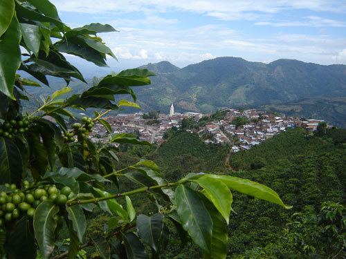
Santuario (elevation 1575 m) is a town and municipality in the Department of Risaralda, Colombia.
Contents
Map of Santuario, Risaralda, Colombia
Tourism
One of the main characteristics of the town is the yearly observance of religious holidays and local fairs.
Sites of interest
References
Santuario, Risaralda Wikipedia(Text) CC BY-SA