
Area 732.3 km² | Population 12,423 (2005) | |
 | ||
Time zone Central Standard Time (UTC-6) | ||
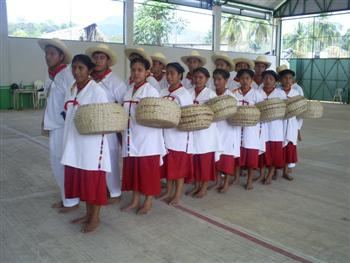
Santiago Jocotepec is a municipality in Oaxaca in south-western Mexico. It is part of the Choapam District of the Papaloapan Region.
Map of Santiago Jocotepec, Oaxaca, Mexico
The municipality was established on 15 March 1825. As of 2005, the municipality had a total population of 12,423, of whom 7,173 spoke indigenous languages. The main towns are Monte Negro (population 1,876), Santiago Jocotepec, Rio Chiquito and San Antonio Las Palmas. The municipality covers an area of 732.32 km², and is on average 100 meters above sea level. The principal river is the Monte Negro.
References
Santiago Jocotepec Wikipedia(Text) CC BY-SA