
Local time Wednesday 12:38 AM | Number of airports 1 | |
 | ||
Weather 21°C, Wind E at 11 km/h, 74% Humidity | ||
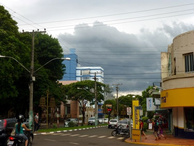
Santa Rosa is a municipality in the Brazilian state of Rio Grande do Sul, located at latitude 27º52'15" and longitude 54º28'53" at a height of 277 meters above sea level. It has an area of 488.42 km². Its estimated population is 68 595 (2010). It is known as the "National Cradle of Soybean".
Contents
Map of Santa Rosa, RS, Brazil
Santa Rosa was created as a colony of European immigrants in 1915, mainly Germans and Russians. The German dialect traditionally spoken in the region is Riograndenser Hunsrückisch.
The city is the birthplace of the popular Brazilian celebrity Maria da Graça Meneghel known as Xuxa and Brazilian World Cup Winning Goalkeeper Cláudio Taffarel.
The city is served by Luís Alberto Lehr Airport.
Main Events
Student Movement
The Santa Rosense Union of Secondary Students (USES) exists since 1959, is the entity formed by high school and representing students from all elementary schools, secondary, technical, vocational and college preparatory school in Santa Rosa. Is USES who meets the student unions of public and private schools, in addition to state and local entities in the fight for a quality education, representing and defending the national rights of youth.